Wednesday, August 24, 2011

Sunday, August 14, 2011

Silver Falls 8/14/11

Yes, Silver Falls again. We had planned travel the approximately 7 mile hike, because we were with people who have never done the entire hike. This didn't work out so well, a friend of a friend, brought his dog, and we had no idea that the park didn't allow pets on the main trail.

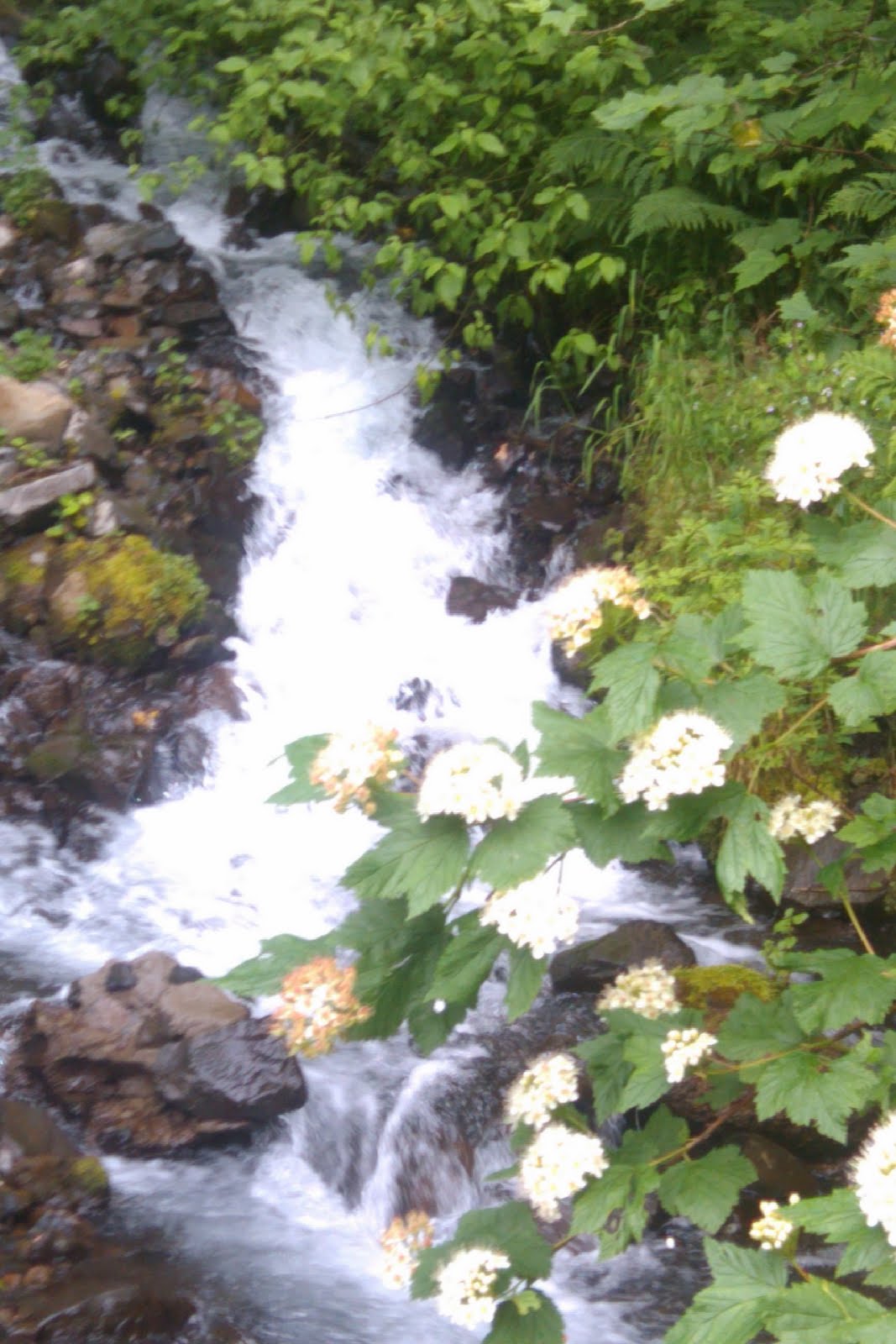
A decision was made to find the trail outside of Waterfalls. The trail was called the 'Rim Trail'and this was partially paved, some of it was dirt, and rocky. We ended up at the top of the waterfall called 'North Falls' and saw an area to walk through around the small moving streams.

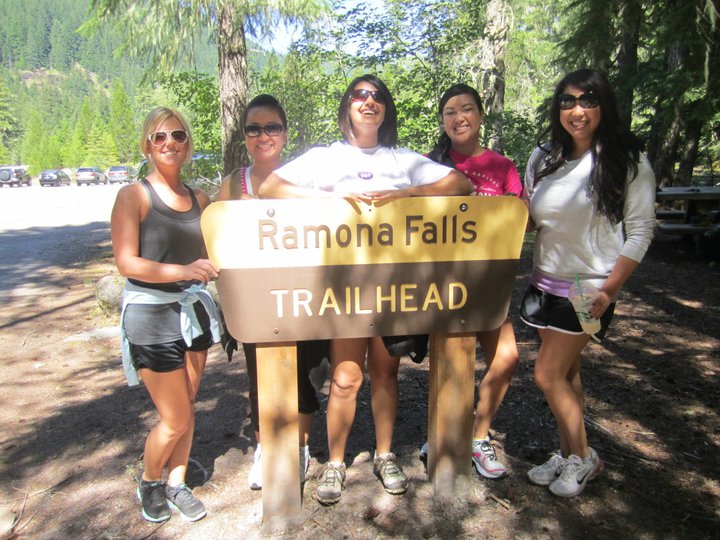
I turned around and see one of our friends' took off into the distance and I wondered how he made his way over there. He came back and told us that we had to check it out. Of course, I was freightened. To get from one side to the other, we needed to do a bit of rock climbing and one small jump from one rock to the other, over a small stream of water. If you saw that I fell on the hike to Romona Falls, you would know that I'm a clumsy human being! So I did not even want to try it. Everyone makes it over the small stream of water, except me. My friend Nam was helping the girls over, but failed to help me! Ok, it was really my own fault. I tried to jump over the stream and in goes my foot and half of my leg. So I had a wet shoe and was scared to slip.

We finally get over to our destination, and it was the scariest thing I've probably ever experienced. We were sooo high up, as a matter of fact we were at the top of North Falls. The view of the valley was very serene.

On our way back to the paths, we see a sign that, I think said "Danger do not enter". We weren't suppose travel that far off the path, but it was a neat experience, and Arinda and I both conquered some fears that day.


Tuesday, August 9, 2011

Ramona Falls Near Mt. Hood 8/7/11

Hike Destination#5: Romona Falls
Distance: 7.1 miles round trip
Hike Time: ~ 3.5 hours (or more?)

After going back and forth, on which hike to go after, Pearl decided on Ramona Falls. I didn't know anything about the hike, except that it was about seven miles long and there is a view at the top. The trail isn't paved so there are dirt, sand and rocky paths. Be aware of horse poop, there is a lot of it on this trail. This wasn't a difficult hike, however the distance made me a bit tired. The view of the waterfall (pictured below) is amazing!! You get there and want to sit in front of it to rest and watch the water falling. It was also nice to listen to the water hit against the rocks on the walls. The view of Ramona Falls was worth the long hike up and down.

On the way back, we took a different route. We walked along a stream, that lead us back to the beginning of the hike. The surroundings of this pathway was much prettier than the views around the path that we took up.

I fell and scraped my knee on this hike, because I wasn't paying attention.

Please watch your step on this hike, don't do what I did :-)

Nice pick Pearl!


Here are some pictures taken by Pearl


for now, I'll update this with my reviews soon...

Silver Falls Loop 7/31/11

Hike Destination#5: Silver Falls in Silverton, OR
Distance: 8.5 miles round trip (we only did 4 miles this time)
Hike Time: ~ 2.5 Hours

So here we are again. It's been a few weeks since I've gone hiking, so this was a bit hard to get through. Keep in mind that I'm not much of an active person, so my point of view on difficulty might be much different than yours. I've done the entire hike before, but as mentioned above, we were able to get through two miles of the hike. That is, two miles in, but two miles to get back. There are a total of 10 gorgeous running waterfalls that you have to see here. The first water fall is breathtaking! It is located relatively close to the entrance. This particular waterfall, and a few others on the trail, you're able to walk behind. I believe the first water fall on the trail is the largest of the 10.

I didn't get a chance to take pictures this time. But here are some pictures of when I visited this place back in 2009.


Thursday, June 30, 2011

Wahkeena Falls At The Gorge 6/26/11

Hike Destination#4: Wahkeena Falls at the gorge
Distance: 2 miles round trip
Hike Time: ~ 1 Hour

Lewis and Clark Trail.....mission failed. I'll save that story for another day. Let's talk about Wahkeena Falls. When you get to beginning of the trail you're able to see the waterfall and the stream connecting it towards the bottom. When you walk just a short distance ahead you can get right up to the waterfall. A friend of ours decided to take his shirt off and pose in the waterfall. He wasn't the only one with this idea, there were a lot of people in the water, some went in with all of their clothes on and others in their bathing suits - by this you can tell that the weather was pretty nice.

The elevation of this hike was pretty tough to get through. The pathway was paved almost the entire way up which was nice on my ankels. At the top, you're able to see a view of the gorge.

I enjoyed this hike because of the burn I felt it in my buttocks and thighs. Oh and the view was also a plus! The destination was the perfect fit to a not so perfect day.

Good Job Arinda on picking this one too!!

We're taking a break on hiking for this holiday weekend, but don't worry we'll be back in full effect the weekend after!

Have a good 4th of July!


Monday, June 27, 2011

Mirror Lake Near Government Camp 6/25/11

Hike Destination#3: Mirror Lake 6/25/11
Distance: 3 Miles
Time: 2 hours


So our next destination was not the Lewis and Clark trail afterall it was actually Mirror Lake 's Trail. This time it was my friend, Arinda's idea (she's full of great ideas!) - she'd been before and raved about the gorgeous view. I was persuaded to hike on a Saturday as well as plan for a different hike on Sunday.

On this hike, we had a couple of fast hikers, so I got a pretty good work out trying to catch up and catch my breath. We came across a couple of bridges, one in particular that stood out was the one with only one side rail. The bridge, which is basically a log you walk on is pretty skinny. Walking slowly on the log is a must because one angry friend, can make you fall into the stream! As we approach the lake the air was cool and crisp. I would recommend bringing a sweater on this trip even if it's warm out. There was in fact patches of snow/ice on the ground. Rocky (pictured below) was playing in the snow like a kid in a candy store.


I've never been on this hike before and found it to be pretty easy to get through. The view at the top of the hike was of Mirror Lake and Mt. Hood. We're suppose to see the lake mirroring the views of the trees and the mountain, but weren't able to this time. However, I would say this hike had the best view so far! Nice pick Arinda!


Monday, June 20, 2011

Macleay Park in Northwest Portland 6/19/11

Hike Destination#2: Macleay Park 6/19/2011
Distance: 3.8 total miles
Time: 2 hours there and back

This hike was pretty easy, at first, but the elevation moved up higher as we continued on the Wildwood Trail. It was a relatively clear day, but the paths on this hike were very muddy. We've been hiking without a map - but don't worry there are signs and maps on the way to get you to Pittock Mansion (a mansion that was once owned by The Oregonian publisher Henry Pittock and his wife, Georgiana in 1909). If you walk around the Pittock Mansion you can see a beautiful view of Portland. This took us about two hours to hike there and back and we had only one person injured; my friend Sam hurt almost sprained an ankle. I hope you'll be back for this next Sunday's hike.

Overall, I thought this was a nice quick hike, however it was pretty dangerous due to the muddy paths. Be careful on this hike and don't forget to stop, smell the air, and take in Portland's nature surrounding you.

Next destination: Lewis and Clark Trails At the Columbia Gorge.


Photos Taken By Pearl Phadunchareon


Don't let this scare you - there is no climbing involved. Sam was taking a short cut.